|
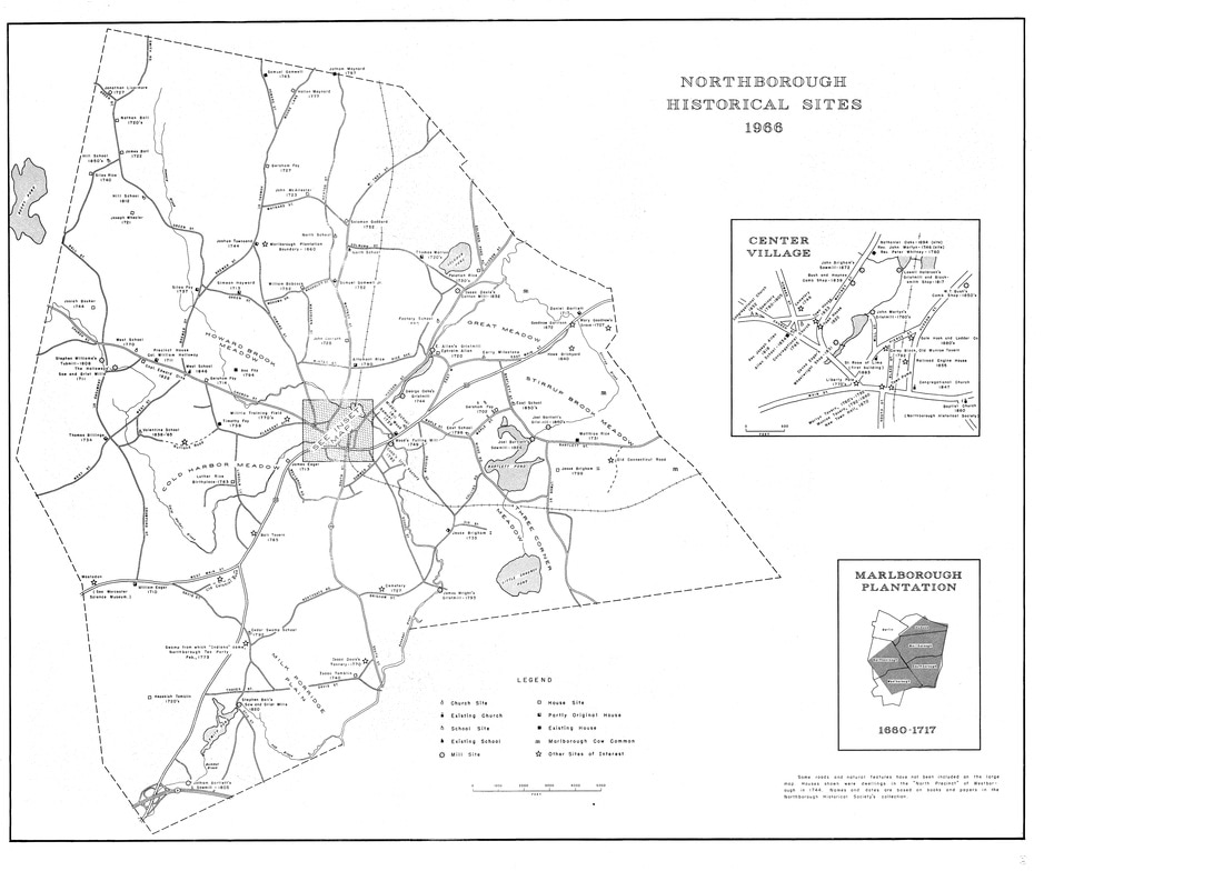
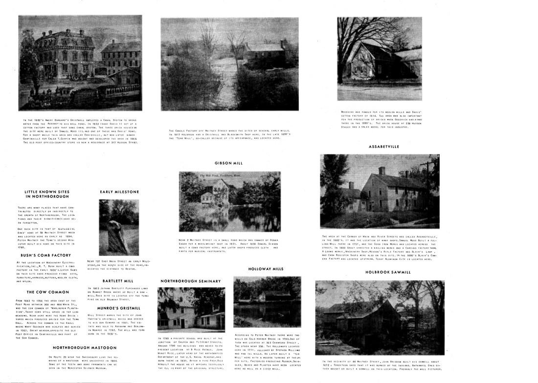
In 1966, the town of Northborough, Mass. celebrated its 200th anniversary of becoming a town. The first inhabitants on the physical land were there decades before the 1766 separation from the parent town of Westborough. This map, created by the Anniversary Committee in 1966, identifies many of the historical homesites going back to 1660. While the general layout of the town hasn't changed much over the last 50 years, one major event changed the character: the building of Rt. 290. In the sections where the highway overpasses could not be built, roads were either rerouted or cut in 1/2 and turned into cul-de-sacs. So if you are headed for an address on Howard Street, you'd best check a map first to see which end you have to get to first! A full size version of the map is here.  1966 Map of Northborough (Worcester Co.), MA with Historical Sites Overlay. Front view. (courtesy Northborough Historical Society) 1966 Map of Northborough (Worcester Co.), MA with Historical Sites Overlay. Front view. (courtesy Northborough Historical Society)
0 Comments
Leave a Reply. |
AuthorBeth Finch McCarthy
|


